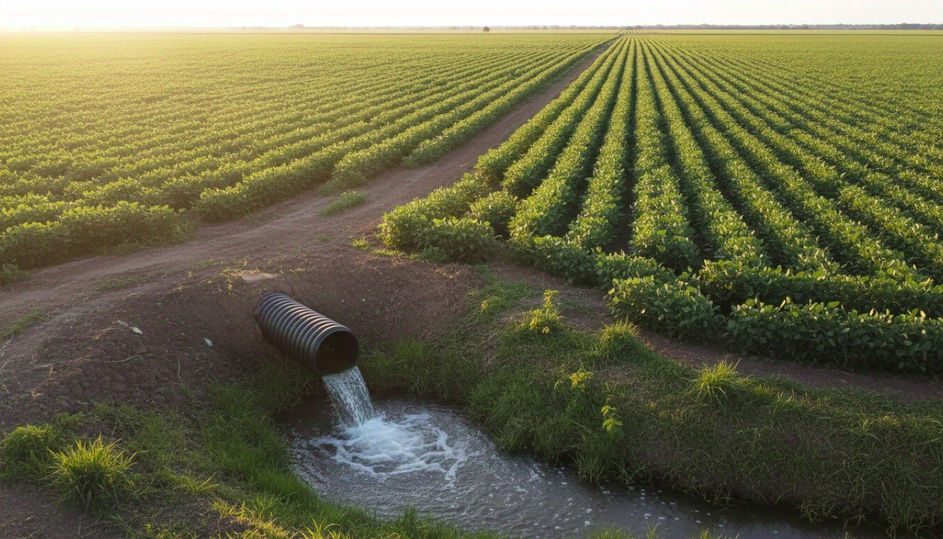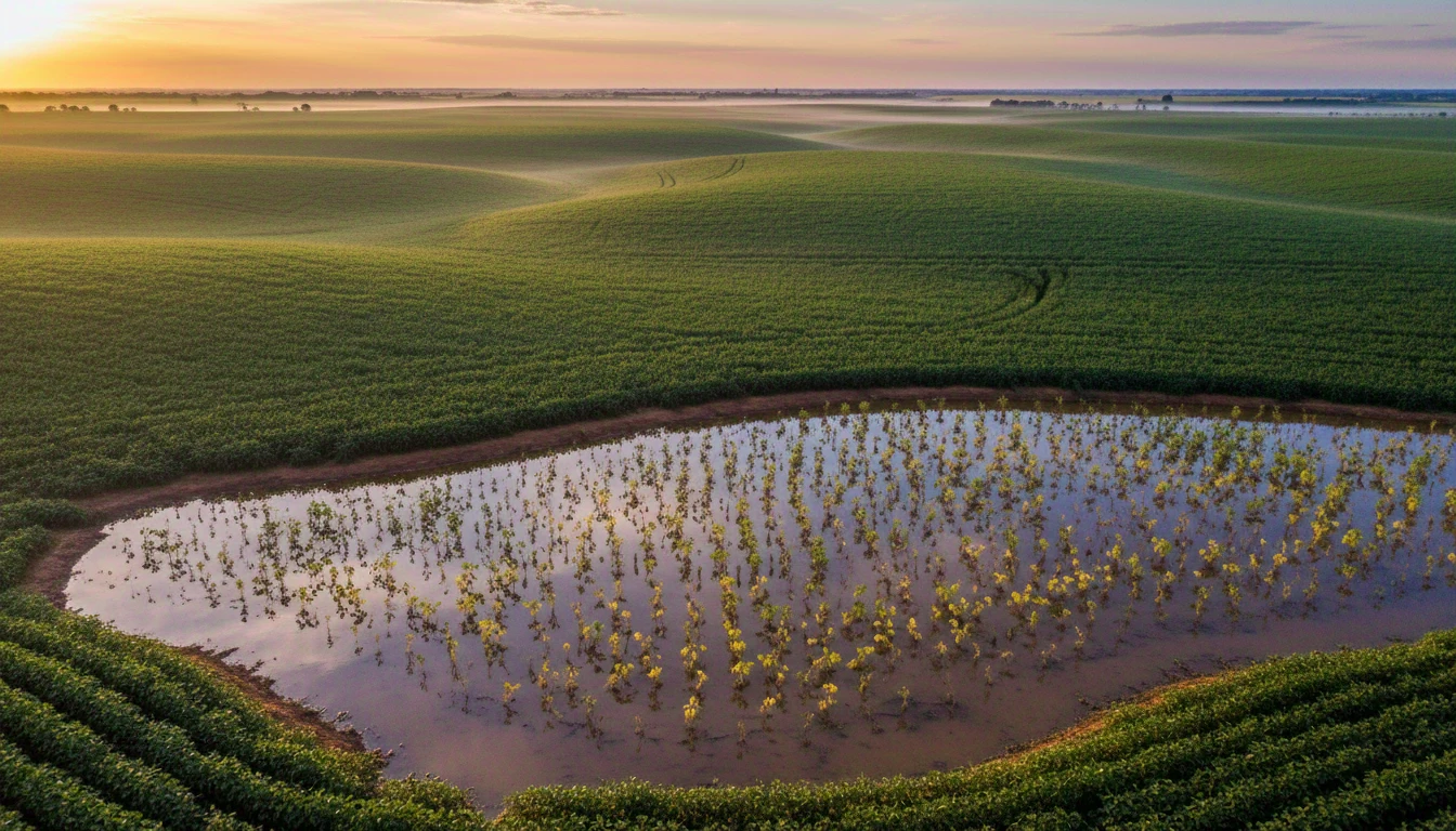


The Mato Grosso law uses a technical term — "hydromorphic soil" — to decide if your area falls under the rules of CONSEMA Resolution No. 36. But the diagnosis doesn't start in a lab: it starts with a shovel and a trained eye. Before any official report, you can get a very clear idea by looking at three things in your plot: water behavior, vegetation, and soil color below the surface.
What the law calls hydromorphic soil
According to the definition in Resolution 36 (Art. 3, II), hydromorphic soil is one influenced by water during the rainy season from the surface down to at least 50 cm deep. The range is wide: from soils with practically permanent water sheets to those where the water table only rises during the rainy season and drops again in the dry season. Officially, these soils are classified as poorly, very poorly, or, in some cases, imperfectly drained — categories of the Brazilian Soil Classification System.
This is what the law says. In practice, what you have is a shovel, a plot, and the question: does my area fit this?
Sign 1 — what water does after rain
It’s the simplest test there is. After heavy rain, time it: how long does it take for the water to disappear from the surface? On well-drained soil, it disappears in hours. If it stays pooled for days — always in the same spots — it’s a sign that the profile below has lost (or never had) the capacity to infiltrate. Also, notice if water runs off the surface instead of entering the soil: this already indicates that the saturation is not just on the surface, but in the profile.
Sign 2 — the soil color below the first few centimeters
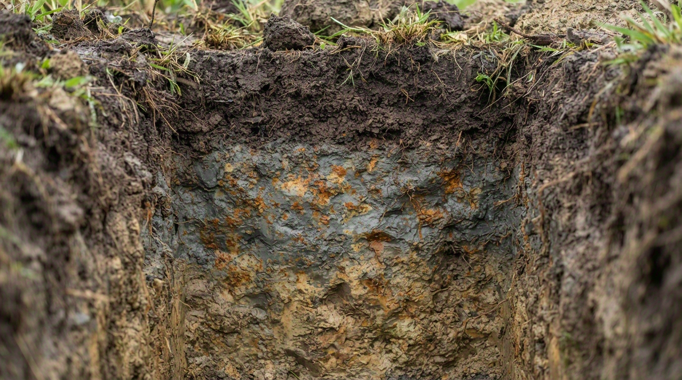
This is the sign the law actually uses as a technical criterion. Dig an inspection trench 50 to 80 cm deep in a suspicious area and observe the color right below the dark surface layer (the A horizon). Well-drained soil has a vivid and reasonably uniform color — red, yellow, brown. When gray or bluish appears, often with scattered orange spots (known as gleying or mottling), it’s the physical mark that the iron in the soil has undergone — and continues to undergo — cycles of oxygen deprivation caused by standing water. It’s basically the same color reading that guides the general drainage diagnosis, but here applied specifically to the legal criterion of hydromorphic soil.
It’s worth noting the contrast with another sign that Techduto has already documented in detail: while gray mottling indicates *reduced* iron (lack of oxygen), ochre is *oxidized* iron precipitating — usually at the outlet of the drainage system itself, after the soil has already been drained. They are two stages of the same chemical element reacting to the presence or absence of water.
Sign 3 — the vegetation that appears on its own
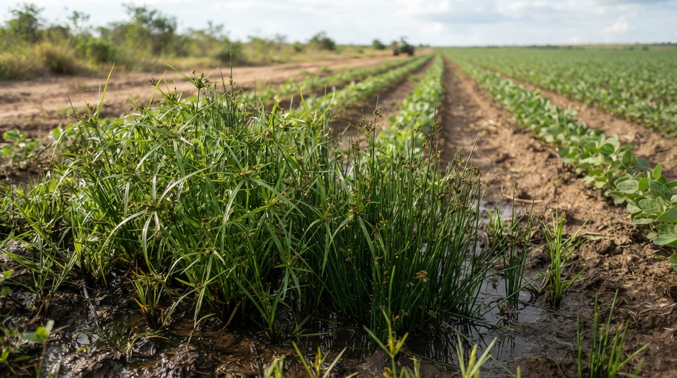
Native vegetation is a free map. Marsh species — sedges, rushes, cattails — dominating specific patches of the land, while the rest of the area has different vegetation, indicate where the water table stays shallow for longer. If these patches coincide with the spots where water also takes a long time to dry (sign 1) and where the trench shows grayish color (sign 2), all three signs point to the same conclusion.
Field signs do not replace official characterization
These three signs provide a reliable reading — but the law requires formal technical characterization (pedological and hydrological criteria, preferably done in the Rural Environmental Registry or in the licensing process itself) before any decision on regularization or system installation. Field signs help you know, with reasonable confidence, if it’s worth proceeding to the technical step — not to decide alone whether you are within or outside the rule.
If you recognize any of these signs in your area, a drainage diagnosis is a good next step, and the article on CONSEMA Resolution No. 36 explains what changes from then on. For those who already recognize the general signs of waterlogged soil in their crops, the article 7 signs that your crop needs drainage is also relevant — the same field reading logic, in a broader context.