

CONSEMA Resolution No. 36/2026 doesn't just regulate who can drain in Mato Grosso — it regulates how the drain can be designed. Three requirements directly impact engineering: a depth ceiling that didn't exist before, layout rules that restrict where the drain can pass, and the obligation to dissipate water energy at the outlet. None of these are optional, and all three change the technical specification of the system — not just the licensing process.
Why There’s Now a Depth Limit
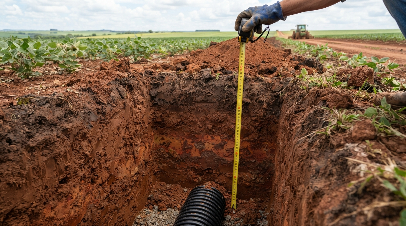
The standard sets the agricultural drain depth at a maximum of 1.50 m, measured from the natural ground level, when the purpose is surface drainage or temporary water excess management. This is not an arbitrary number: it’s the limit that, in most soil profiles eligible for drainage in MT, avoids reaching the layer where iron concentrates.
Excessive depth is not just a matter of excavation cost. In shallow soil over a plinthite layer, going too deep exposes precisely the structure the regulation aims to protect — and creates a technical risk for the system itself, as this layer tends to clog the drain over time. The legal limit, in this sense, aligns with good engineering practice: deeper is not always better, and beyond a certain point, it becomes worse.
What Changes When There’s a Plinthic Horizon
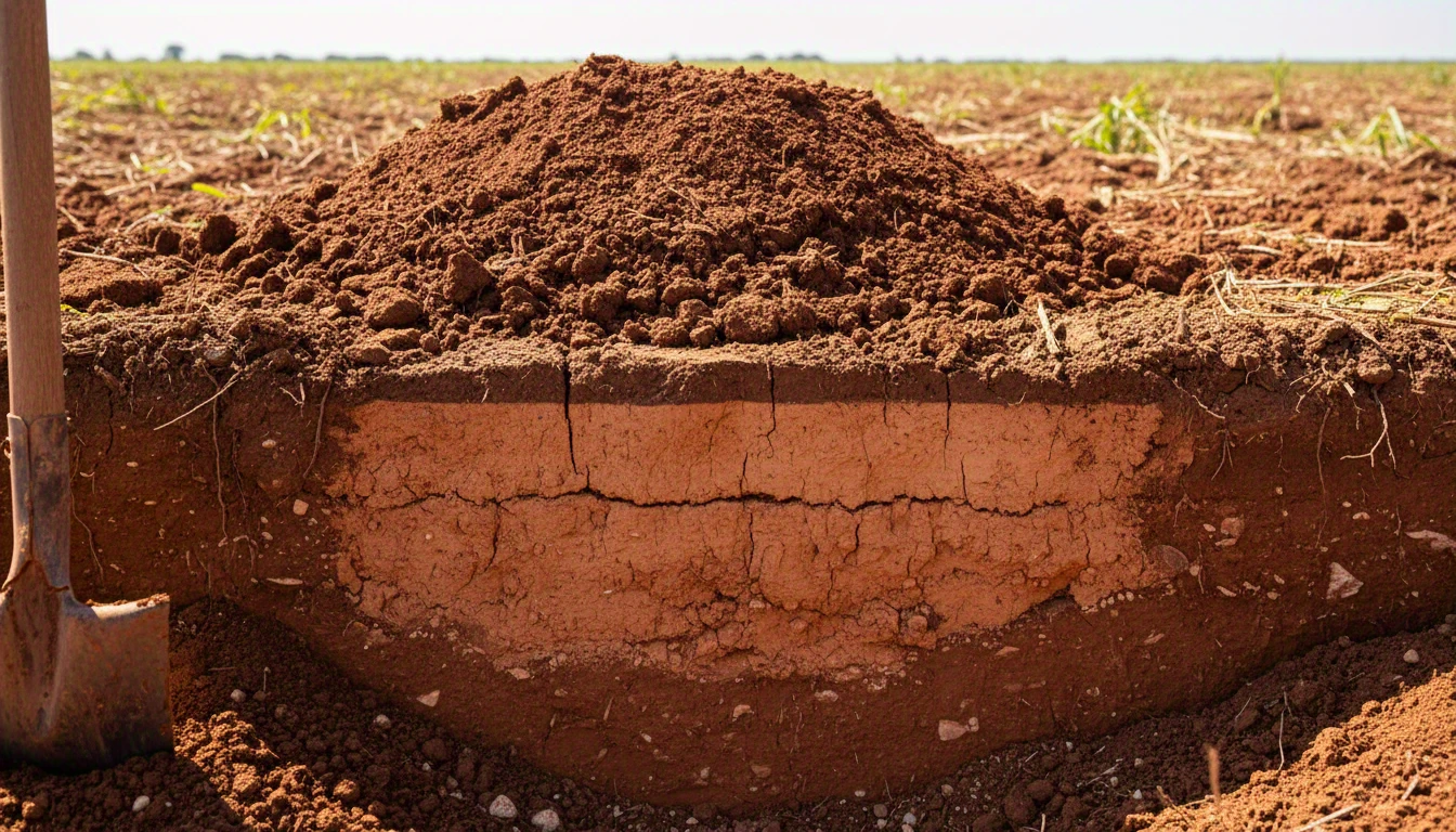
The rule becomes more restrictive when the soil has a plinthic horizon — the iron concentration layer that characterizes Plinthosols, the only soils where drainage is technically permitted in wetlands in MT. In these cases, the actual depth ceiling is not necessarily 1.50 m: it’s the upper limit of this horizon, whichever is shallower. The regulation prohibits exposing the plinthic horizon with the drain installation — if the horizon starts at 90 cm, that’s the maximum permissible depth for that plot, not 1.50 m.
This means that soil profile surveying — where exactly the plinthic layer begins in each section of the plot — ceases to be a technical detail and becomes the first piece of project data. Without this survey, it’s impossible to know what depth the law actually permits in that specific area.
Exceeding the maximum limit is only permitted exceptionally, with a technical project and justification approved by the licensing authority — it’s not a decision that the farmer or installer makes alone in the field.
Layout: What the Project Must Avoid
In addition to depth, the regulation addresses the path the drain follows. Three layout rules apply to any agricultural drainage work in wetlands or hydromorphic soils in MT:
- Follow natural drainage lines, in straight drainage channels — the layout cannot be arbitrary; it must follow the actual topography of the land.
- Avoid cross-cuts in trails, springs, and watercourses — the drain cannot cross these points, even if it means a longer or more expensive layout.
- Minimize interference in Permanent Preservation Areas (APP) — even when intervention is technically permitted, the project must reduce the extent of entry into APP areas to the minimum.
In practice, these three rules eliminate the “shortest distance between two points” as a design criterion. The technically functional layout and the legally permissible layout do not always coincide — and this is where a well-executed technical project avoids rework: discovering this after excavation is much more expensive than discovering it beforehand, during the design phase.
Energy Dissipators: The Requirement That Prevents Erosion (and Neighbor Disputes)
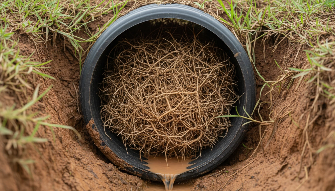
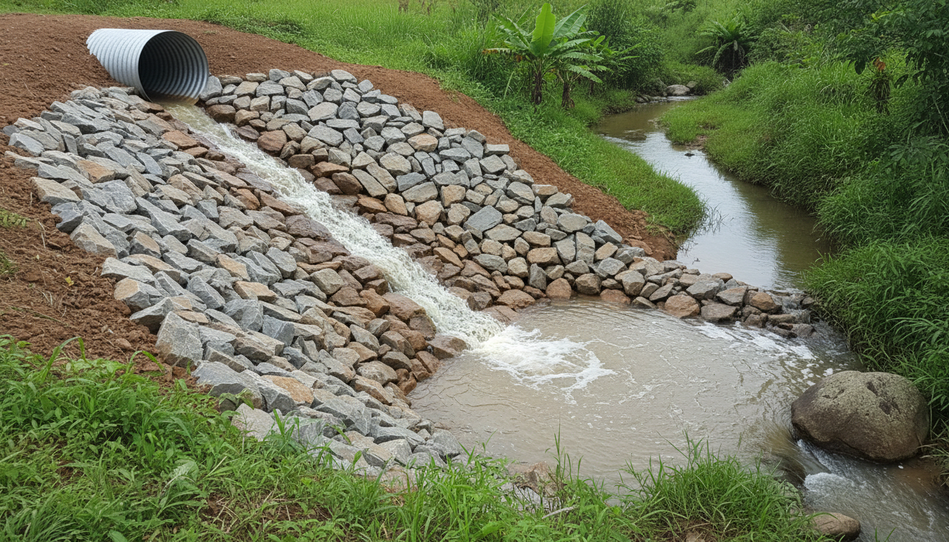
All agricultural drainage work in MT now requires energy dissipators at the outlet — structures that reduce the flow velocity before it reaches the receiving water body. Without dissipation, water exits the drain with enough energy to erode the soil and the banks of the receiving watercourse, carrying sediment downstream.
This point has a practical implication that many projects postpone and shouldn’t: a drainage system with good conveyance but inadequate outlet dissipation may function well internally but still cause visible erosion on neighboring properties or in the riverbed — the type of damage that leads to notifications and complicates any future licensing or regularization process.
What Happens When the Project Ignores These Limits
Depth above the legal ceiling and layouts that cut across trails, springs, or watercourses are not errors that go unnoticed during licensing — they are precisely the points the licensing authority checks first, as they are described in the regulation in objective terms (depth in meters, presence of a watercourse in the path), not subjective judgment criteria. A project that exceeds the limit without approved technical justification, or that unnecessarily crosses a watercourse, has a high chance of rejection — regardless of which licensing modality the work is following. It’s worth planning with this detail in mind: rejection after the work has started in the field is much more expensive than correcting the layout on paper, as re-excavating or realigning an installed system is always more labor-intensive than adjusting the project before starting.
There is also a risk that goes beyond licensing itself: erosion caused by insufficient dissipation or by discharge at the wrong point can cause damage to neighboring property or the water body, and this type of damage has civil consequences independent of the licensing status — the farmer is liable for the damage even if the administrative process is up to date. This is why treating depth, layout, and dissipation as design decisions — not as formalities to be filled out later — is what protects the investment and prevents the need to reopen the work.
How This Changes Drain Specification
Depth, layout, and discharge point are not isolated decisions — together, they define the type of pipe the system needs. In MT, two factors weigh more heavily in the choice:
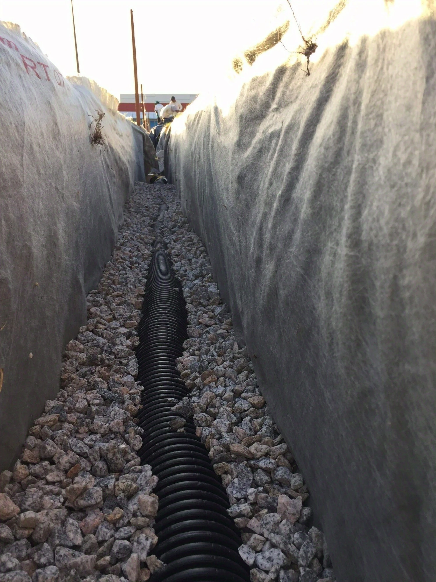
In soils with finer clay content (the minimum required by the standard is 15% — generally near this limit, the risk of clogging is higher), the Techdreno KC — whose micro-fissures drain and filter simultaneously — reduces the risk of drain clogging without needing an additional geotextile layer in the field — a point already detailed in the article on drain wrapping. In sections with greater cover or heavy machinery traffic over the drain line — common when the layout needs to circumvent APP and ends up passing under a maneuvering area — the annular rigidity of Techdreno DW ensures the pipe withstands the load without deforming.
None of these choices should be made without first defining the soil survey and layout — it’s this sequence (soil profile → legally compliant layout → pipe specification) that the Techduto engineering team follows when supporting an agricultural drainage project in a regulated area, based on the technical parameters consolidated in the Techduto Drainage Guide.
Post-Installation Monitoring
The regulation also requires the licensing project to include a monitoring plan for water bodies in the direct influence area of the work. This means the commitment doesn’t end with installation: the farmer needs to monitor over time whether the system is operating as designed — flow rate, signs of erosion at the outlet, water quality downstream.
The First Step
Depth, layout, and energy dissipation can only be precisely defined after two pieces of field information: the complete soil profile down to the plinthic layer (when present) and the topographic survey of the area, including nearby trails, springs, and watercourses. It is this survey that transforms the legal limits into an executable project.
If your system is old and you don’t know if these rules apply to it, see the article on consolidated drains in old areas. If you are planning new agricultural drainage work in MT, the Techduto engineering team can support this technical project — from depth to layout and pipe specification. To understand if your area shows signs of needing drainage before reaching this point, the drainage diagnosis is the starting point, and the Drainage Glossary compiles the technical definitions mentioned here.