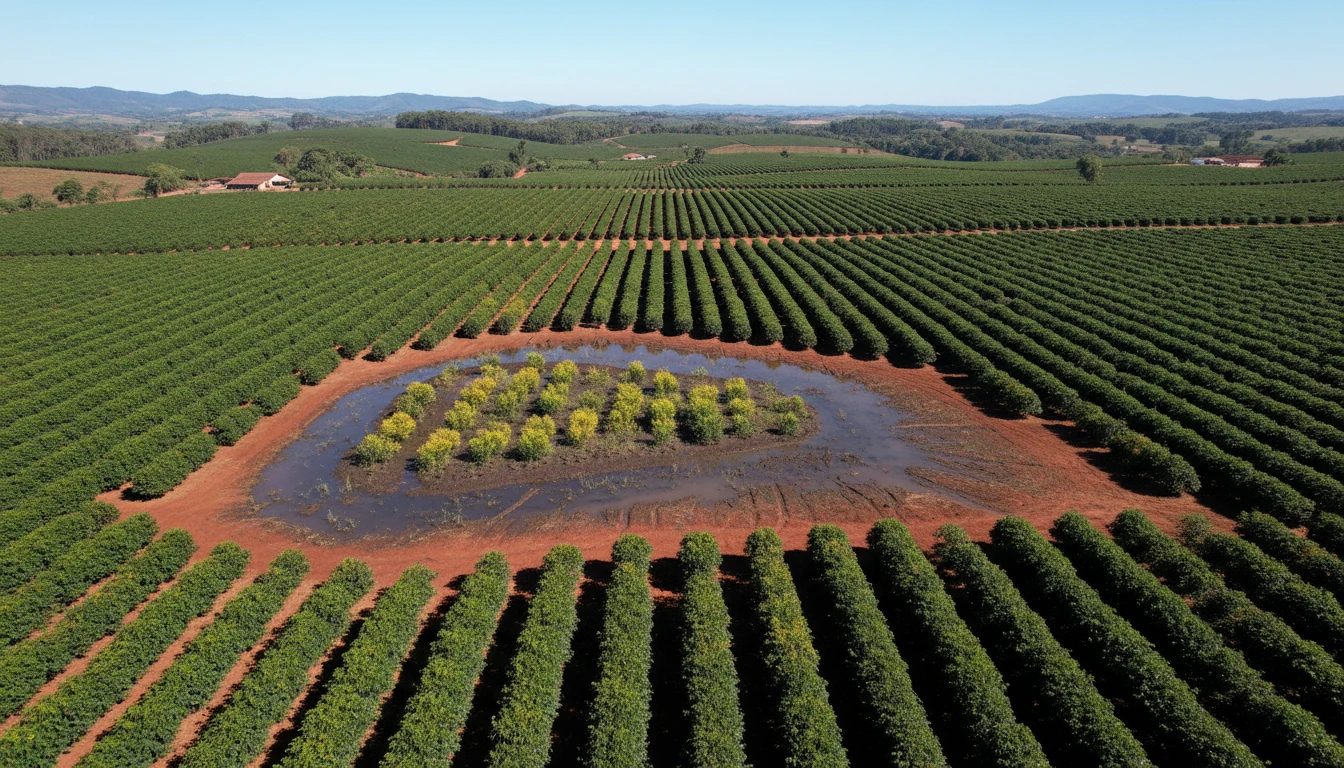

The term "wetland" might bring to mind swamps, year-round standing water, or obvious landscapes. Mato Grosso law doesn't define it that way. According to CONSEMA Resolution nº 36/2026, a plot of land can legally be a wetland even in dry years, even without a visible water surface most of the time — because the deciding factor isn't what you see on the surface, but what the soil reveals.
The Legal Definition, in Simple Terms
The regulation defines wetlands as swamps and land surfaces periodically covered by water, originally covered by forests or other forms of vegetation adapted to flooding. “Periodically” is the keyword: it doesn’t need to be flooded year-round, or even most of the year, to qualify.
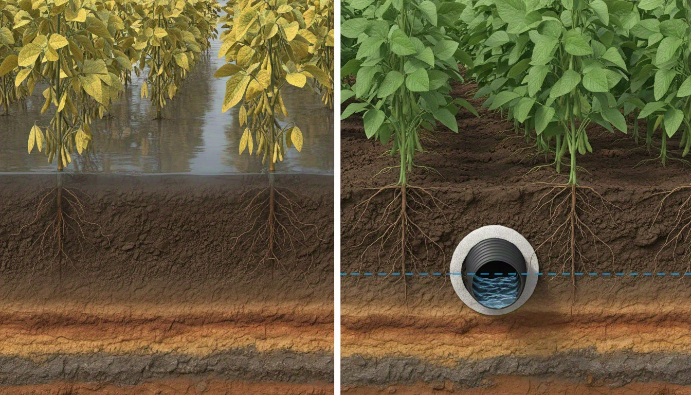
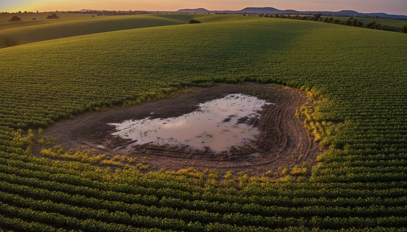
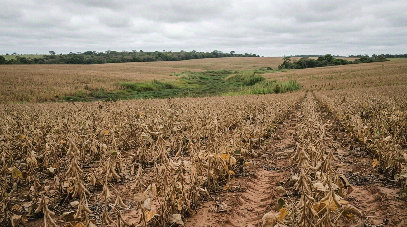
This already changes many people’s expectations. An area that floods only during the heaviest rainy months, or has a shallow water table even when the surface is dry most of the time, may fall within the definition — even if it looks like a common crop field in everyday landscapes.
What Really Decides: Soil, Not Landscape
The law establishes four groups of criteria to characterize a wetland, but they don’t carry the same weight. The two defining criteria — which are sufficient on their own for classification — are the pedological (presence of hydromorphic soil) and the hydrological (periodic natural coverage by water). The geomorphological (position in the terrain, alluvial plain, depression) and phytophysiognomic (vegetation adapted to saturation) criteria are complementary — they help confirm, but don’t decide on their own.
The point that causes the most surprise is explicit in the regulation: the pedological and hydrological criteria prevail over the others, and the absence of visible surface water during a certain period of the year does not, by itself, disqualify the wetland condition — as long as soil indicators remain present. In other words: soil matters more than landscape. A plot can be dry in a photograph and still be technically a wetland if the soil profile reveals signs of hydromorphism.
How the Area is Identified and Mapped
In practice, the classification of a rural property in MT preferably goes through the Rural Environmental Registry (CAR) — this is where the wetland should be identified and delineated even before any license application. When the area is not included in the CAR, identification can occur directly in the environmental licensing process. If the area is classified as restricted use, the law requires it to be mandatorily included in the CAR with this specific marking.
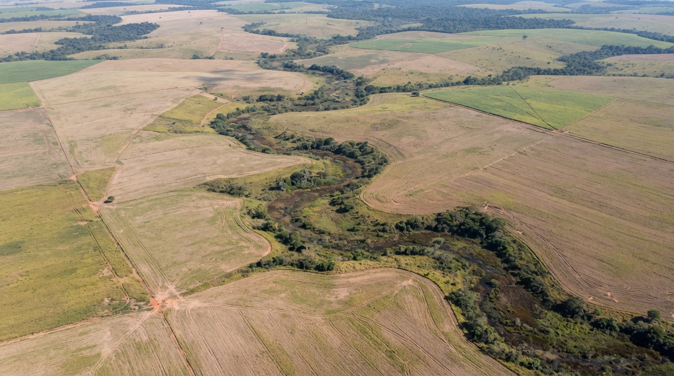
For two specific territories in MT — the floodplains of the Araguaia and Guaporé rivers — the law already defines an official reference: the map prepared by SEMA based on IBGE’s hydromorphic soil map, at a scale of 1:250,000. Outside these regions, identification is done by cross-referencing CAR or licensing data with IBGE’s hydromorphic soil database.
What If You Disagree with the Classification?
It will happen: a map at a scale of 1:250,000 does not have the precision of a field survey, and specific properties may be classified differently from the actual soil conditions. The law provides a pathway for this — a technical report with professional responsibility, which can confirm or reverse the reference classification. This process has its own rules, the subject of another article in this series.
Why This Matters Before Deciding Anything About Drainage
Knowing whether your area is technically a wetland is the first piece of information for any drainage decision in MT — it changes the licensing procedure, the applicable soil criteria, and whether there are additional restrictions due to restricted use classification. Deciding this “by eye,” based on the appearance of the crop, is exactly the type of assumption the regulation does not accept.
To understand the complete picture of CONSEMA Resolution nº 36 — regularization deadlines, soil criteria, and what changes for those who already have or will install drainage — the main article in the series covers the central points. And if your crop already shows signs of recurrent waterlogging, a drainage diagnosis is the starting point to understand the situation with the Techduto technical team — so you have clarity on where you stand, in your own time.