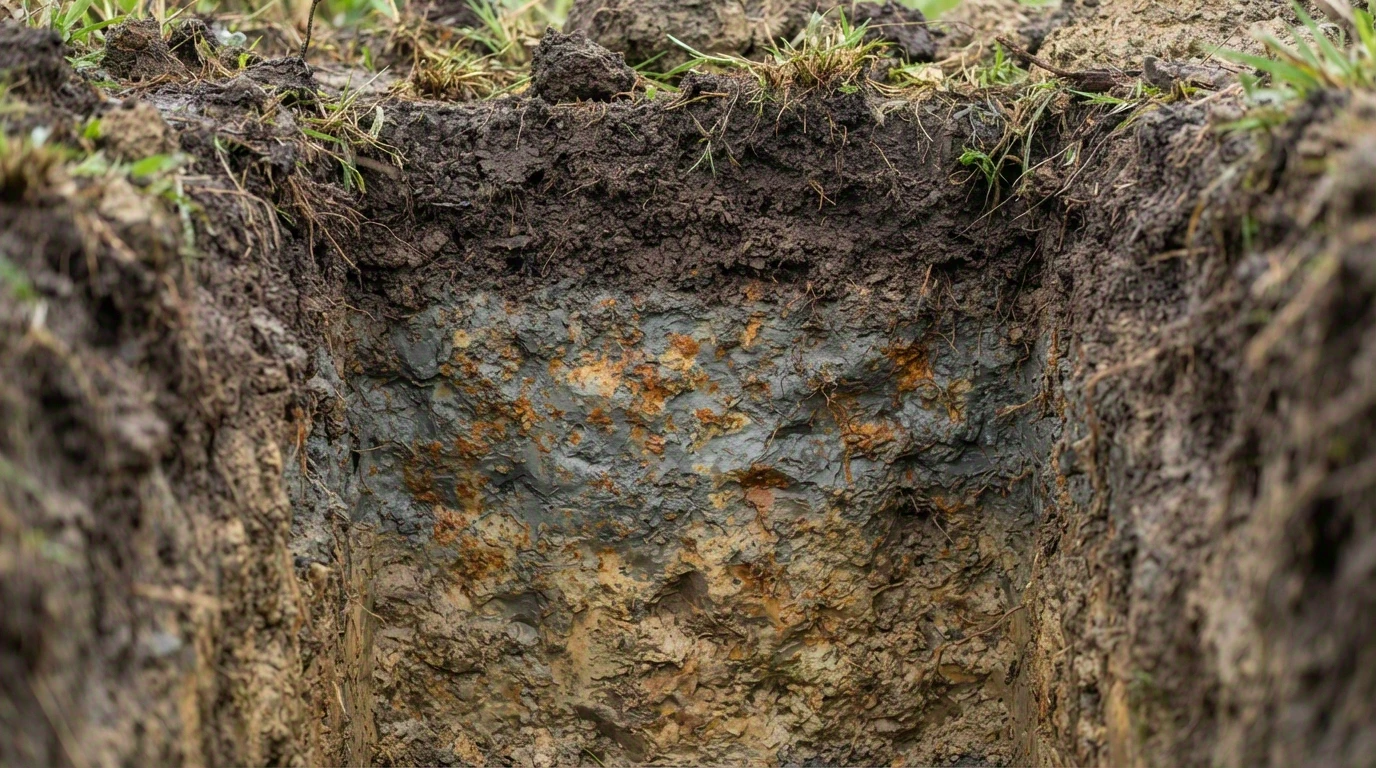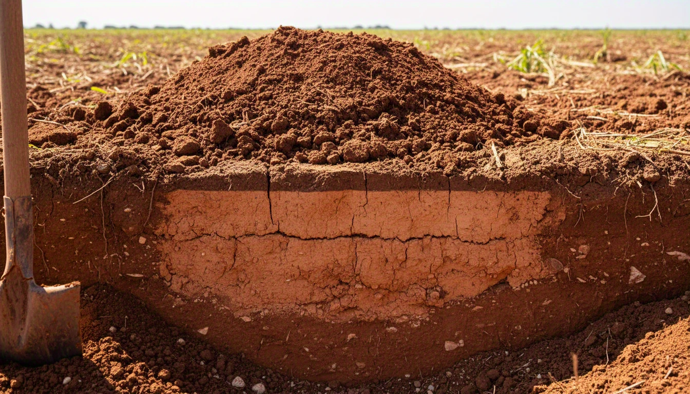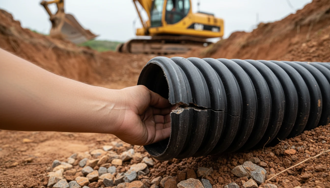


In a wetland area in Mato Grosso, 260 hectares is the number that separates a relatively simple licensing process from a full EIA/RIMA — the most time-consuming and expensive environmental impact study there is. CONSEMA Resolution nº 36/2026 has a specific rule on how this area is summed when there is more than one connected project — a detail that changes the calculation for those unaware, and is worth mapping out before filing anything.
What changes above 260 hectares
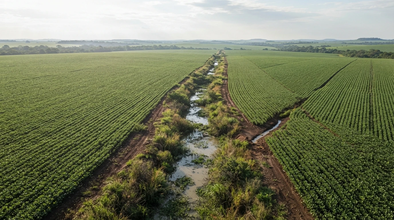
For the licensing of agricultural drainage hydraulic works in wetland areas, Resolution 36 requires an Environmental Impact Study and Environmental Impact Report (EIA/RIMA) whenever the drained area exceeds 260 hectares. This is the most complete procedure for environmental licensing — more studies, more time, more cost than the environmental diagnosis required for smaller projects on hydromorphic soil.
And it’s not just the standard EIA/RIMA: the regulation also requires specific technical studies to characterize the need for the agricultural drainage work itself, in addition to what is already foreseen in the generic Terms of Reference for the EIA/RIMA. In other words, even within the more robust procedure, there is an extra layer specifically designed for drainage.
How the law sums the area of connected or fragmented projects
In any environmental licensing process, the question of dividing a large project into smaller applications often arises. Resolution 36 already addresses this question with two explicit area summation rules:
- Contiguous projects owned by different parties. If two or more neighboring projects share the same drainage system — the same drains, channels, or discharge point —, the area of all of them is summed for the purpose of the 260-hectare limit. It doesn’t matter if they are properties with distinct ownership: what counts is the shared physical system.
- Projects owned by the same party, on the same property. If a producer has more than one drainage project within the same continuous property, the summation applies even if the projects are distant from each other and were requested in separate processes.
In practice, this means the important question is not “does my project, in isolation, exceed 260 ha?” — it is “does the total area drained by the system, summing everything that is physically connected or under the same ownership on the same property, exceed 260 ha?”. It’s worth mapping this out at the beginning of the process: discovering that an EIA/RIMA was necessary only after months of analysis costs much more time and resources than starting with the correct procedure.
Why it’s worth calculating this before submitting the application
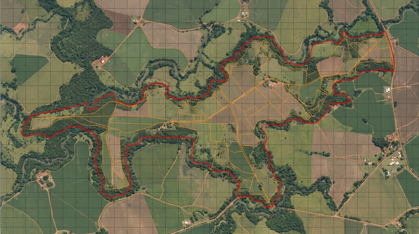
The difference between the two procedures is significant enough to change the entire project timeline. On hydromorphic soil up to 260 hectares, the requirement is an environmental diagnosis within the trifasic licensing process — a much more straightforward procedure. Above the limit, or when fragmentation applies, it’s EIA/RIMA: more studies, longer analysis time, and usually more than one technical specialty involved.
Therefore, before filing any application for agricultural drainage licensing in a wetland area in MT, it is worth precisely mapping the total system area — including neighboring properties connected by the same drainage and other projects you may already have on the same property. It’s a calculation that changes the strategy for the entire process, and it’s better to discover this on paper than after months of analysis.
The first step
Knowing which licensing procedure your project falls under depends on two pieces of data: the total area of the drainage system (considering the summation rule) and whether the soil is hydromorphic or not. This survey is the starting point before any technical drainage project in MT — and it is precisely the type of diagnosis that Techduto’s engineering team can support, along with the specification of the system itself.
To understand the complete overview of CONSEMA Resolution nº 36 — deadlines, soil criteria, and what changes for those who already have or will install drains —, see the main article in the series. And if you are still evaluating whether your area shows signs of needing drainage, the drainage diagnosis is the starting point.