
Not all wetlands in Mato Grosso have the same level of restriction. When an area is classified as a Restricted Use Area (AUR) — and registered as such in the Rural Environmental Registry — it falls into a stricter category than that of a common wetland. It's important to understand exactly what changes, because the difference appears precisely in the type of activity most rural properties maintain: large-scale annual cropping.
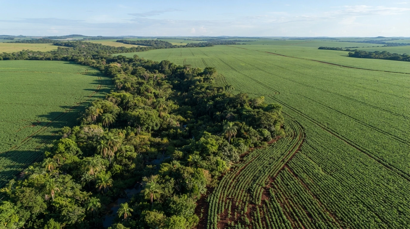
What makes an area “restricted use”
When a wetland meets the criteria for restricted use provided by law, it must be mandatorily identified in the Rural Environmental Registry with this specific classification — AUR. This is not a cosmetic formality: from this registration onwards, the area is subject to a broader set of prohibitions than those applied to wetlands in general.
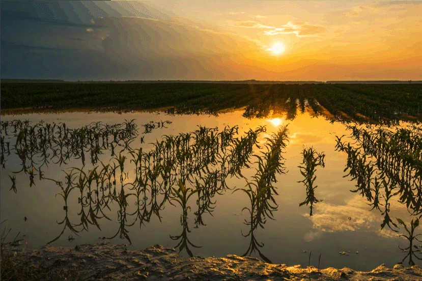
The principle governing the use of these areas — whether restricted or not — is sustainability: it is the owner’s responsibility to maintain the ecological and hydrological functions of the site (water cycle regulation, flood control, sediment retention) while reconciling this with compatible productive activity. In an AUR, this reconciliation has less room for maneuver.
What is prohibited — in any wetland or AUR
The regulation lists a set of prohibited uses that apply to both common wetlands and AURs:
- Fillings or structures that impede the natural flood pulse or hydrological connectivity — with the exception of public utility works, social interest projects, or low-impact activities provided for in the Forest Code.
- Disposal of solid waste, effluents, or pollutants that may contaminate soil, water, or biota.
- Underground cemetery.
- Confined livestock farming, even if temporary — except for subsistence farming, practiced by smallholders or rural family entrepreneurs.
The prohibition that only exists in AUR: large-scale annual cropping
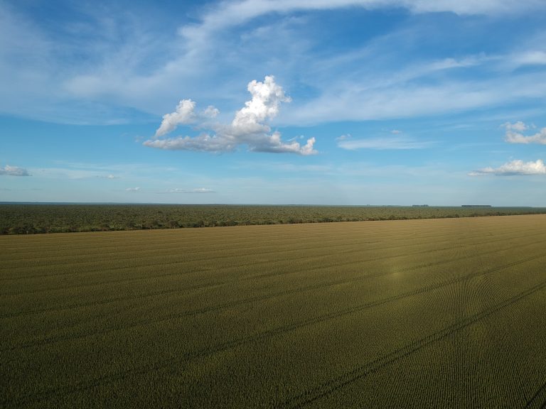
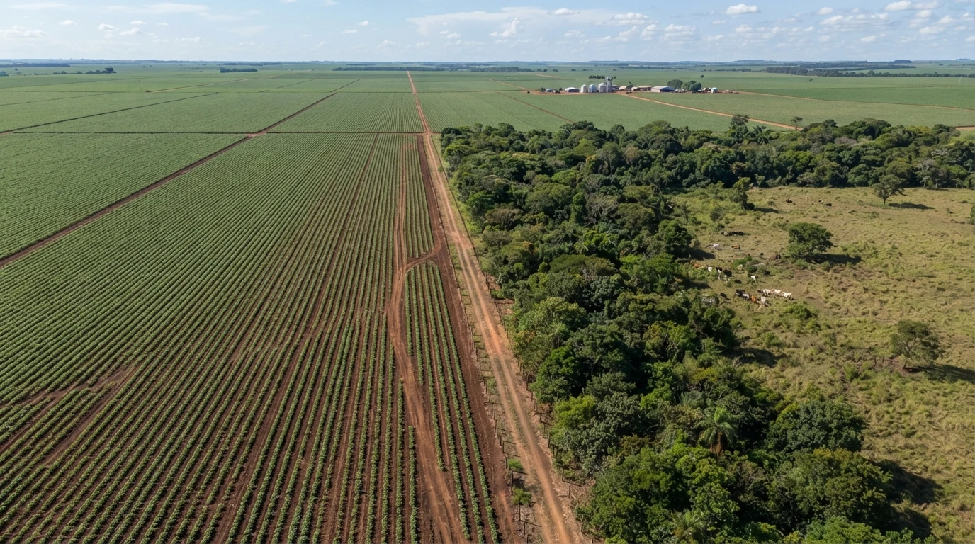
Here lies the difference that weighs most in practice. In an AUR, in addition to the prohibitions above, large-scale annual cropping — soybeans, corn, cotton, as practiced in most of MT’s production — is also prohibited. The exception is narrow: it is only permitted if the crop is adapted to the natural waterlogged conditions of the area’s soil, and provided that no pesticides are used.
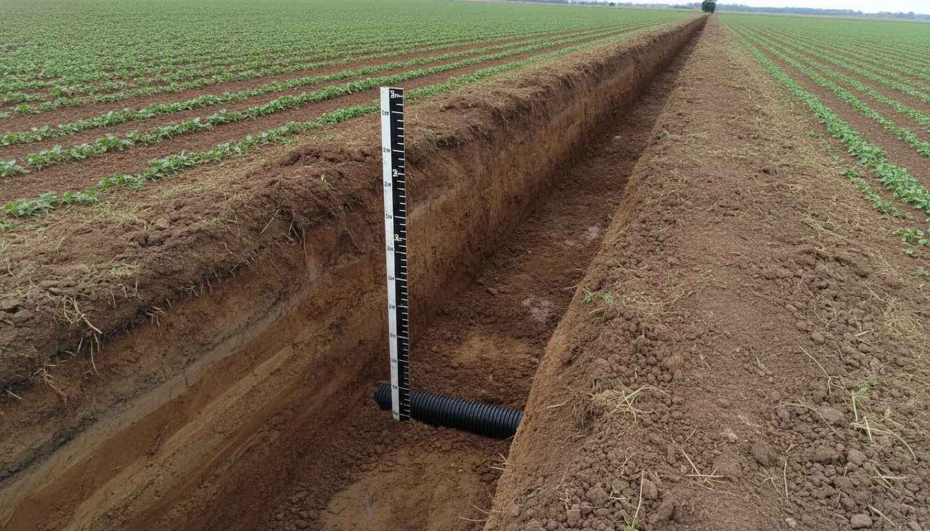
In practice, this eliminates conventional large-scale cultivation in an AUR — it’s not a matter of licensing, it’s a technical prohibition that cannot be resolved with more documentation. This is why classifying an area as AUR (instead of a common wetland) has a direct economic impact: it changes what the property can produce in that plot, not just how it can drain.
When the AUR prohibition does not apply
Two situations remove the area from the stricter regime. The first: if the area is within an urban or urban expansion perimeter legally established by municipal law, the specific AUR prohibitions do not apply — general wetland rules are followed. The second: parts of the floodplains of the Guaporé and Araguaia rivers that, even if geographically within the reference polygon, are not actually affected by the flood pulse or do not present real wetland characteristics, may be excluded from the restricted use classification.
This second hypothesis is the most relevant for those who disagree with the classification: if the official map classifies a portion of the property as AUR but the field conditions do not confirm this, there is a technical path to contest it — through a technical report with a qualified professional, a topic for another article in this series.
The first step
Before deciding what to plant or how to use an area classified as AUR, it’s worth confirming if the classification is correct for your property — by checking the CAR and the actual field conditions. If your farm in Mato Grosso has part of the area with this classification, or if you suspect the classification does not reflect the reality of the land, a drainage diagnosis is a good starting point to understand the area’s hydrological condition, and Techduto’s engineering team can support the necessary technical survey. This article is part of a series on CONSEMA Resolution nº 36/2026 — it’s also worth reading about agricultural drainage in areas that already have an installed system.