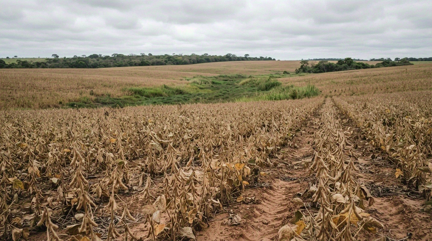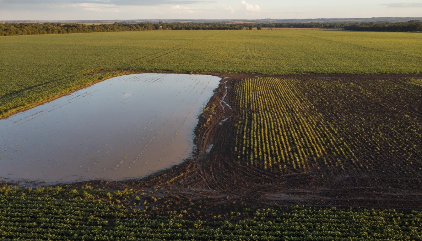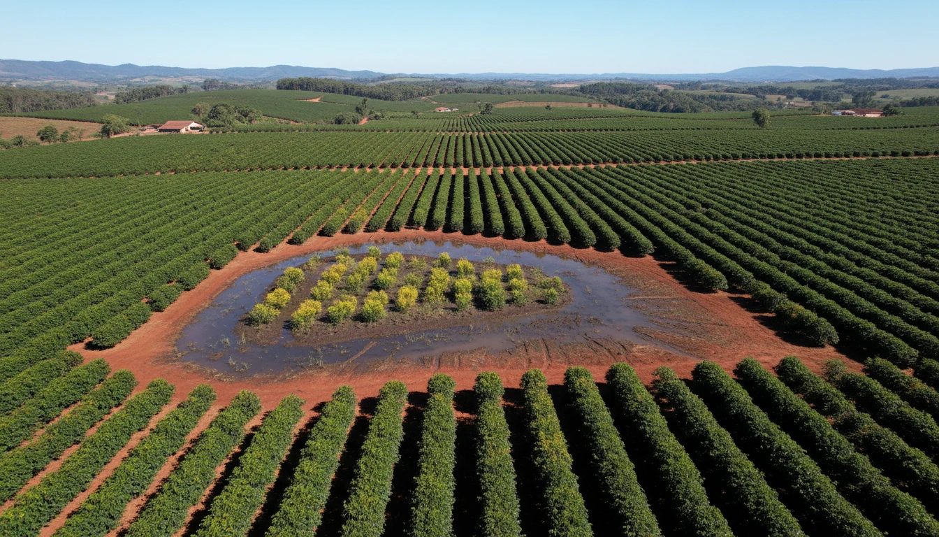
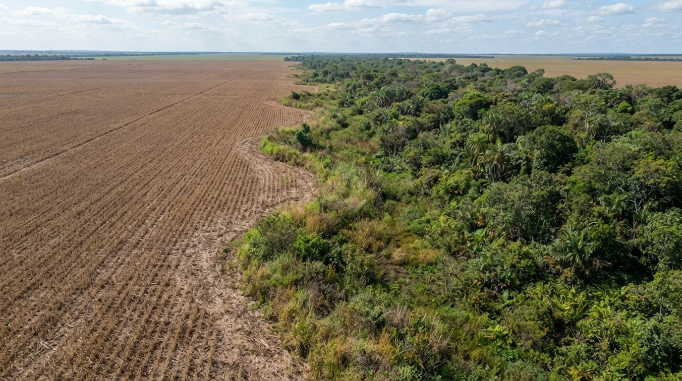
If your dry area borders a wetland or restricted-use area in Mato Grosso, CONSEMA Resolution No. 36/2026 establishes a 100-meter buffer zone where certain activities are prohibited — even if they are on dry land, outside the wetland itself. The rule applies when this proximity poses a concrete or potential risk of damage to the wetland or the water resources connected to it. It is important to understand where this buffer zone begins and what it actually restricts before planning spraying, input storage, or any construction near the water's edge.
Where the 100-meter zone is measured from
The setback zone begins at the line dividing the wetland from the dry area — not at the visible water’s edge, which can vary significantly between flood and dry seasons, and not at the field boundary. This means that the technical delimitation of the wetland (based on pedological and hydrological criteria, generally cross-referencing the Rural Environmental Registry with SEMA’s hydromorphic soil map) is the starting point for determining where the buffer zone actually begins. Without this delimitation, it is impossible to accurately determine whether a structure or activity is inside or outside the restricted zone.
The rule applies to dry areas bordering wetlands on rural properties that pose a concrete or potential risk to the ecological functions of the wetland or its associated water resources — it follows the same risk logic that defines a Restricted-Use Area (AUR): it is not an automatic buffer in all situations, but the regulation considers this risk presumed for the listed prohibited activities.
What is prohibited within the zone
Within the 100 meters, the resolution specifically prohibits:
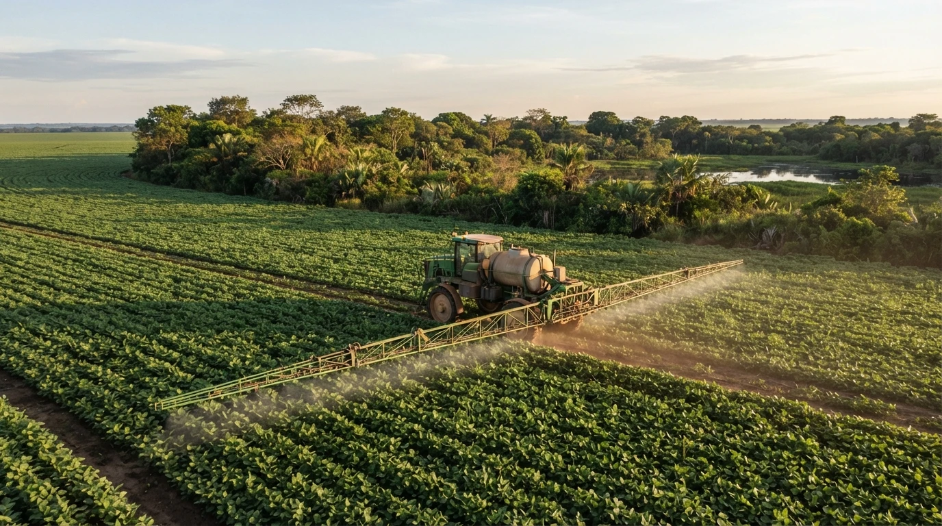
- Aerial application of pesticides by manned aircraft. Manned aerial spraying is prohibited in this zone, regardless of the crop.
- Storage, handling, or disposal of potentially contaminating inputs, chemicals, or waste. This includes storage facilities, refueling points, and any material management structures.
- Any other activity that falls under the same risk — the regulation leaves room for other activities of equivalent risk, assessed on a case-by-case basis.
A point that often causes confusion: the application of pesticides by other means — such as ground spraying or drones — is not automatically prohibited in the zone. It is assessed within the environmental licensing process for the activity, on a case-by-case basis.
Can the distance be reduced?
Yes, but not by personal decision. The applicant may request a reduction of the 100-meter buffer zone when the project incorporates technological processes or additional safety measures that mitigate the risk to water resources — for example, physical barriers, containment systems, or application technology with reduced drift. The reduction must always respect permanent preservation areas and is at the discretion of the competent environmental agency within the licensing process.
In practice, this means that the 100-meter zone is not rigid in all cases — but reducing it requires a technical project and justification, not just an administrative request.
Why this matters for drainage professionals
For those planning or regularizing an agricultural drainage system near a wetland in MT, this buffer zone is part of the same licensing process that evaluates the drain: the study characterizing the area must also map where this 100-meter zone affects the property, as it defines where input storage and certain management practices cannot be located — even if the drainage work itself is outside the zone. It is advisable to map this before defining the location of support structures (storage facilities, refueling yards) on the property.
If your property has a floodplain or low-lying area near the farmland, a drainage diagnosis helps understand the area’s situation before any project — free of charge and without obligation — and Techduto’s engineering team can assist with the technical characterization that supports this type of licensing.