

In the previous article in this series, we saw that SEMA's official map for wetlands in Mato Grosso is built on a 1:250,000 scale — precise enough for a statewide view, but too coarse to decide on a specific plot. When this map classifies your property as a wetland and you believe the soil reality is different, CONSEMA Resolution nº 36/2026 provides a formal path to resolve this discrepancy: the technical report with ART.
When to Contest the Classification
The discrepancy can appear in three places: SEMA’s reference map, the Rural Environmental Registry (CAR), or already within the licensing process itself. In all three cases, the law treats the situation the same way — it is up to the interested party to present a technical report, prepared by a legally qualified professional, with the proper ART (Technical Responsibility Annotation) or equivalent document, following the technical criteria of the resolution in the format of a specific Standard Terms of Reference.
This is not an informal claim that “this area has never flooded.” It is a technical document with registered professional responsibility — whoever signs is technically responsible for the content.
What the Report Must Include
The standard requires, at a minimum, two components:
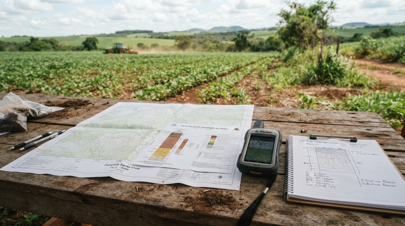
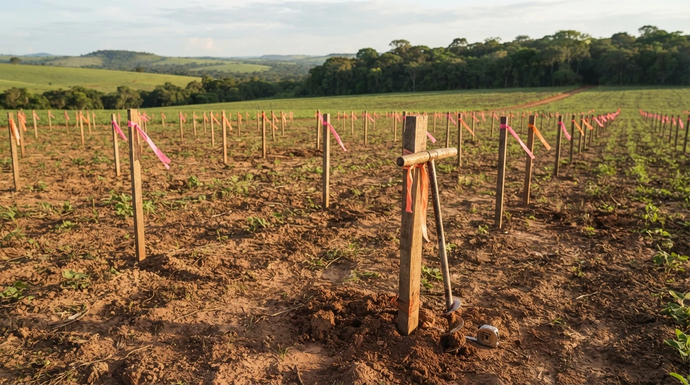
- Soil map on a 1:25,000 scale or more detailed — ten times more precise than the statewide reference base (1:250,000). It is this difference in scale that allows discussion of the reality of a specific property, not just the regional trend.
- Express analysis of the technical characterization criteria — pedological, hydrological, geomorphological, and phytophysiognomic (the same four groups that define a wetland, discussed in the previous article in this series), technically and circumstantially justifying why the reference classification does not apply to that property.
It is not enough to disagree with the result — the report must demonstrate, using the same criteria the law uses for classification, why that specific land does not fit.
Where the Discrepancy is Resolved
The report does not initiate a separate process. The discrepancy is resolved within the environmental licensing process for the activity itself — the technical report and other technical aspects of the project (what is intended to be done in the area, including any drainage work) are analyzed integrally by the licensing body. When the activity is not eligible for ordinary environmental licensing, this analysis is conducted through a Single Environmental License (LAU).
In practice, this means that the reclassification report and the technical project for the intended work usually go hand in hand — it is not necessary to first “win” the reclassification and only then start the design.
What Happens if the Report is Accepted
If the environmental agency approves the report and it declassifies the area as a wetland, the effect is not restricted to the individual process: SEMA’s reference thematic base is adjusted, and the interested party can request the corresponding rectification in the CAR. A successful report corrects the official map from that point forward — it is not a specific exception, but a data correction.
What Techduto Supports — and What It Doesn’t
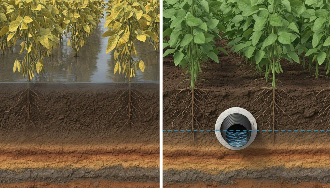
It is important to be direct about the limits of each stage: the preparation of the technical report for wetland characterization is the work of a professional qualified in pedology, hydrology, and environmental licensing — Techduto does not replace this stage. What Techduto’s engineering team supports is what comes next, once the area’s classification is defined: the actual technical drainage project — layout, depth, and system specification, within the criteria applicable to that area.
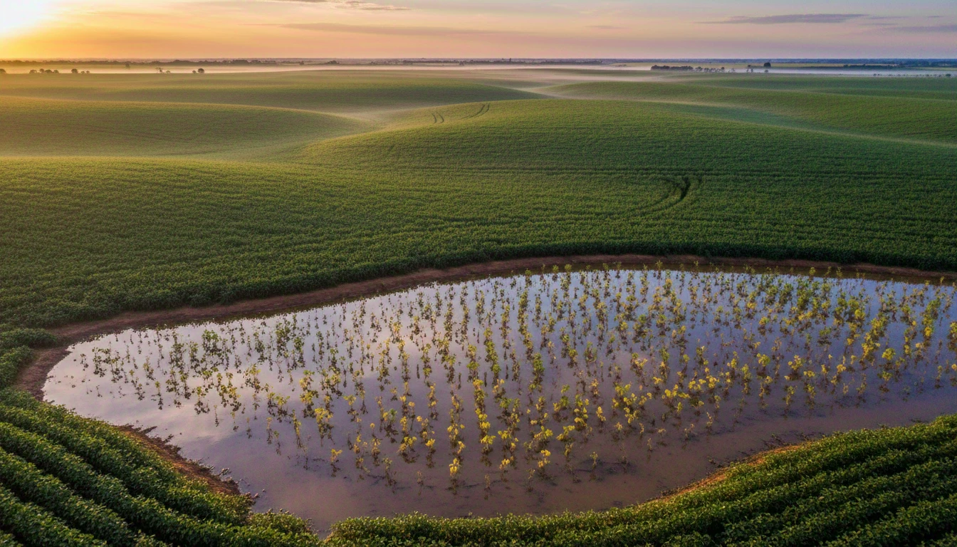
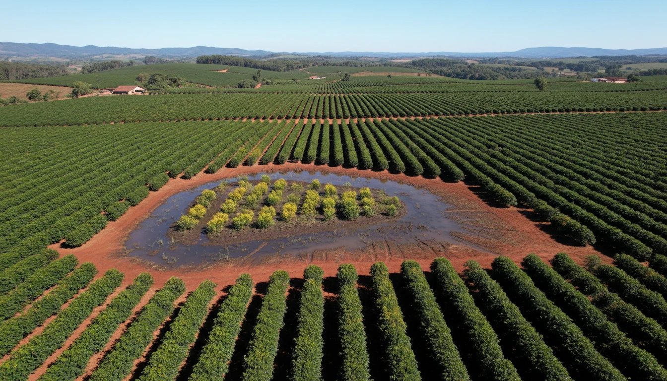
If you still don’t know whether your property fits the legal definition of a wetland, the previous article in this series explains the criteria that determine this. And if the crop already shows signs of recurrent waterlogging, regardless of the formal classification, a drainage diagnosis is the starting point with the technical team.